Henderson County contains the most intact walkable portion of the Buncombe Turnpike
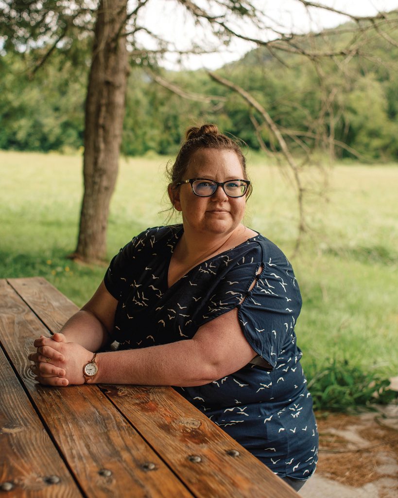
Historian Lauren May will help revive a forgotten road.
Portrait by Clark Hodgin
Hidden in the hills and valleys of Western North Carolina are vestiges of its hardscrabble past, cut off by geography from more prosperous and larger markets. This month, hikers will be able to walk along what remains of the old Buncombe Turnpike — a road that, 200 years ago, opened the mountains to the wider world. Organized by the Western North Carolina Historical Association, the two-mile hike will be led by Lauren May, assistant manager of the Vance Birthplace State Historical Site in Weaverville, once a stop on the old Turnpike for drovers herding livestock to markets in South Carolina.
The hike will begin in Zirconia and head toward the Saluda Gap, where the Turnpike crossed the mountains to join similar drover trails in South Carolina leading to markets in Columbia and Charleston. “We will be hiking a portion of the Palmetto Trail that passes over the Saluda Gap,” May explains. “Hikers will see views of the Saluda Mountains from the trail, and we’ll spend some time in the hollow of the Saluda Gap.” The hike is relatively easy, with a slight uphill portion to reach the top of the Gap.

Stagecoach travel on the old Turnpike in Henderson County (courtesy of state archive/WNCHA).
The Buncombe Turnpike opened to traffic in 1828 and traced a 75-mile route from the Tennessee border north and west of Hot Springs, through Asheville over what is now Pack Place, then along roughly the route of today’s Route 25 to Hendersonville, Flat Rock, and Saluda. An engineering marvel in its day, the Turnpike was a major stimulus for growth and provided a relatively comfortable way for visitors from lowland South Carolina to escape summer’s heat. One traveler who spent a night at an inn on the Turnpike just south of Asheville in 1849 reported he’d shared the place with “seventy five people and five-thousand hogs.”
There are few other places where the original route of the old Turnpike can still be walked. “I believe a long gravel road paralleling the French Broad River at Hot Springs is a likely route of the original Turnpike road,” says Western North Carolina Historical Association Public Programs Director Trevor Freeman, adding that it likely passed by the WNCHA’s headquarters at the Smith-McDowell House Museum in Asheville before being rerouted in the 1850s along what is now Biltmore Avenue. A short dirt path just outside Flat Rock’s historic district is also likely a remainder of the original roadway. Most of the rest of the Turnpike route is now buried under Route 25 and parts of I-26.
“Modern visitors can see how the landscape has changed over 200 years,” May says of the day’s activity. “We’re leading this hike to connect people with the landscape of history and to inspire engagement with the outdoors.”
Lauren May will lead the hike along the southern portion of the Buncombe Turnpike on Saturday, Aug. 7, from 10am to noon, starting from the Palmetto Trail’s Talisman Camp trailhead on Anders Road in Zirconia. A contribution of $20 to the WNCHA is suggested. For tickets, visit wnchistory.org/events.